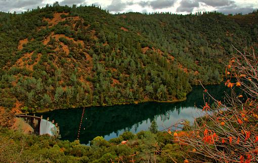
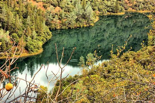
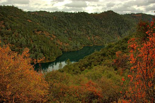
Here are a couple more I dug up from the pictures I took on Tuesday. This gives some perspective to the geography of the lake. I know I am curious to sleeper lakes like this and sometimes want to know where they are at. If you do here ya go.. Lat/Long 38-56'20.68"N/121-01'16.91"W. (use Google Earth)
From the Lake to the top of the mountain is 1,523 ft. From the dam to the end of the picture is 1,690ft. Lake elevation 718 ft. Lake width approx 500 ft wide.
.31 miles of water
Picture taken at 1300ft Elevation
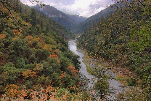
The North fork of the American River that dumps into Lake Clementine.
I went here early in the morning knowing there was going to be steam rising from the river from the storm the day before. I was bummed I missed it by about 1/2 hour. That"s the shot I want and hope to get soon.
I know these need some work so please let me know what you think.
Thanks again
Darin


 LinkBack URL
 About LinkBacks


 Reply With Quote